
In response to the inspection, maintenance and operational requirements of wave energy generation systems and offshore equipment, we have pioneered the indus-try' sfirst 'Jing Tian Wei Di' - a new generation of reliable low-altitude dynamic monitoring, control and operational system.
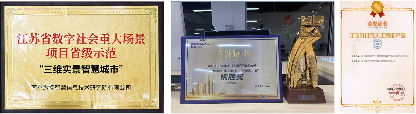
On 19 May 2023, Jingtian Weidi s all-new generation of trusted low-altitude dynamic monitoring, control and operations system was awarded the Excellence Prize at the First Nanjing Urban Digital Light Applications Competition. In December of the same year, it received the Outstanding Product Award from the Jiangsu Artificial intelligence Associa-tion. In February 2025, it was designated as a provincial-level demonstration project for major digital society scenarios in Jiangsu Province.
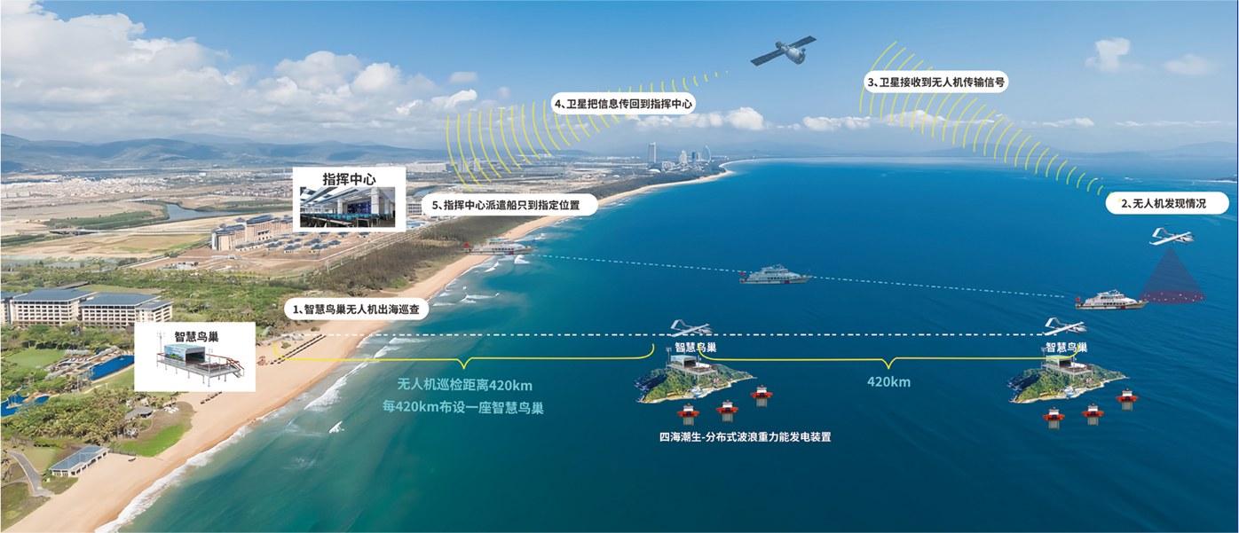
Fully automated unmanned airfields can be constructed not only on unmanned vessels equipped with wave energy power generation systems, but also on the islands and reefs of the South China Sea, where they can provide fully automated power supply, conduct continuous automated patrols of the surrounding waters, and continuously track specific targets.
The 'Jing Tian Wei Di' smart urban landscape has already been implemented at the National Youth Cultural Park in Jianye District, Nanjing.


